“It’s not so much the destination of the journey that brings happiness, yet it is the journey itself. Whether the adventure takes place on a road, path, trail or just through time, we hope you enjoy our trip and are happy you came along for the ride.”
If age was measured by miles, how many miles have you traveled? Well, for me, I have traveled many miles, more miles than I thought I would have.
I drive everyday in my old antique car with a new interior. New, cause I keep it that way. My radio plays 50’s on 5 and I love to ramble on with windows open and blaring music saluting all who listen.
Starting the journey miles one through ten, the roads were beautiful, slightly bumpy at times but the scenery was warm and inviting. All was good with the world.
Miles eleven through twenty one were another story, roads became more bumpy, even rutted at times, changed many a tire back then. Oh and breakdowns on my way to the seashore, many times I would open up the hood and the radiator would be steaming! Back then felt like I would never get to my destination without a problem of some type.
Rolling, rolling, rolling
Miles twenty two to forty five were interesting, learned a lot along the way. Looking backwards I seemed to have driven faster and faster back then, cause all I can remember is green to yellow traffic lights breezing on by.
My car, my old antique car I think needs a tuneup, perhaps a new engine, it is running slow miles forty six to fifty five. Remember those green to yellow traffic lights breezing on by, well at miles 45 to 50 seems I caught a few red ones. Then, it seemed it was time to slow down a little more. The gear shift would stick from time to time, the headlights seemed to dim a bit. Wish I could trade my car in, but for some reason I can’t find a dealer that will do it.
Miles fifty to present have been some of the most pleasant miles of my journey so far. The road ahead has some potholes and ruts, yet I have learned to drive around them. The scenery is just beautiful and I am taking it all in. On the longer straighter sections of the highway, I sit back, relax and recall all the previous miles along the way, accessing my performance and then accepting it and rolling along.
Presently, the radio blares fifties on five and the journey continues………………………………………………………………….
January 4 2019, the day is somewhat overcast, but not cloudy, somewhere in between hazy and sunny. It’s 11:00 and the question is “What do you wanna do today?” The answer of course is “Let’s do a road trip”.
I take Samuel for a short walk, while Patty makes meatloaf sandwiches for the trip. Previously, charting out the trip and writing down the directions on a piece of loose leaf paper, let the adventure begin!
In the blog: Back Brook Road trippin, we decided on our next trip we would bring the dog with us, as the guilt of leaving home weighed on us from time to time. So Samuel would ride on Patty’s lap and I would drive.
A stop at the local gas station to fill up and get some potato chips to compliment our picnic, we then headed up route 6, past Lake Wallenpaupak dike, past the town of Hawley, up through White Mills to hang a right on Beach Lake road which would take us to Narrowsburg NY, about 11 miles.
Narrowsburg Bridge over the Delaware River
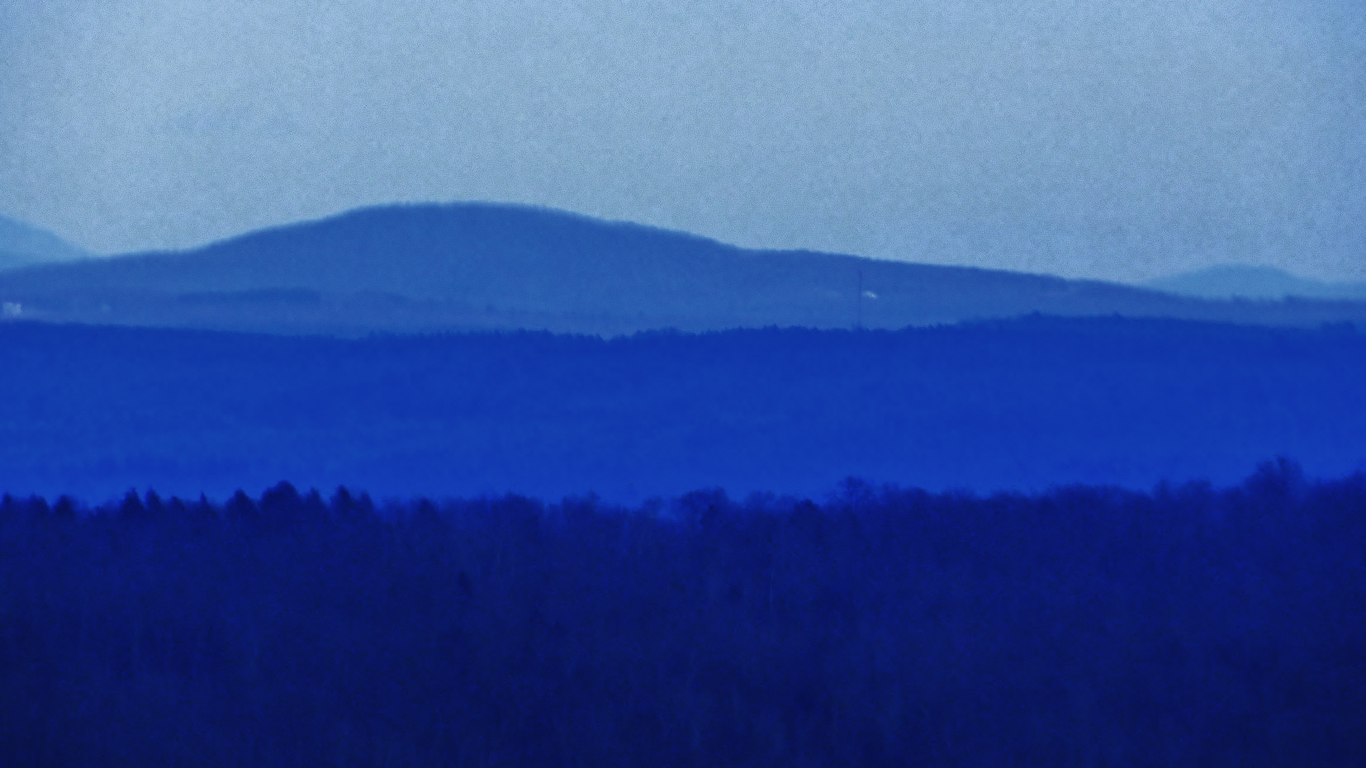
Anticipation presents itself as the road climbs up, winds and turns and dips downward towards the river. Patty asks, “Where are we headed?” I tell her we are headed to Cannonsburg Reservoir up past Hancock, NY. I explain that we will take route 97 north to Hancock and follow some other roads to our destination.
Route 97 basically hugs the New York side of the Delaware River for about 70 miles from Port Jervis to Hancock. I love this road as it not only rides fast with a speed limit of 50 mph but also allows various pull offs to view the river from many beautiful vantage points. Prior to this trip, we have traveled as far south to Lackawaxen and north to Callicoon, but today we travel northward to the end.
This time of the year the road is somewhat less traveled, the locals are working and the tourists are also working in their own areas. Perhaps one car following about a mile behind, perhaps 1 vehicle a mile or two ahead.
route 97 northward bound
Looking right, looking left, as I write this 5 hours later, my neck is killing me, but who can help it. On the left views of the river; straight forward, windy and curvy, at level or from high up. Thinking about Native Americans as they camped, fished and or hunted along the river paths. On the right in most places the land rises through young sapling forests dotted with fir trees and framed with the grayish green boulders of rockwall outcrops here and there. At 60, I feel like a kid again, so much wanting to jump out of the car, run up into the forest and start building a fort, partially of tree branches and partially of rocks. “KEEP YOUR EYES on the road” is voiced into my right ear as the car begins to sway across the white line in the road.
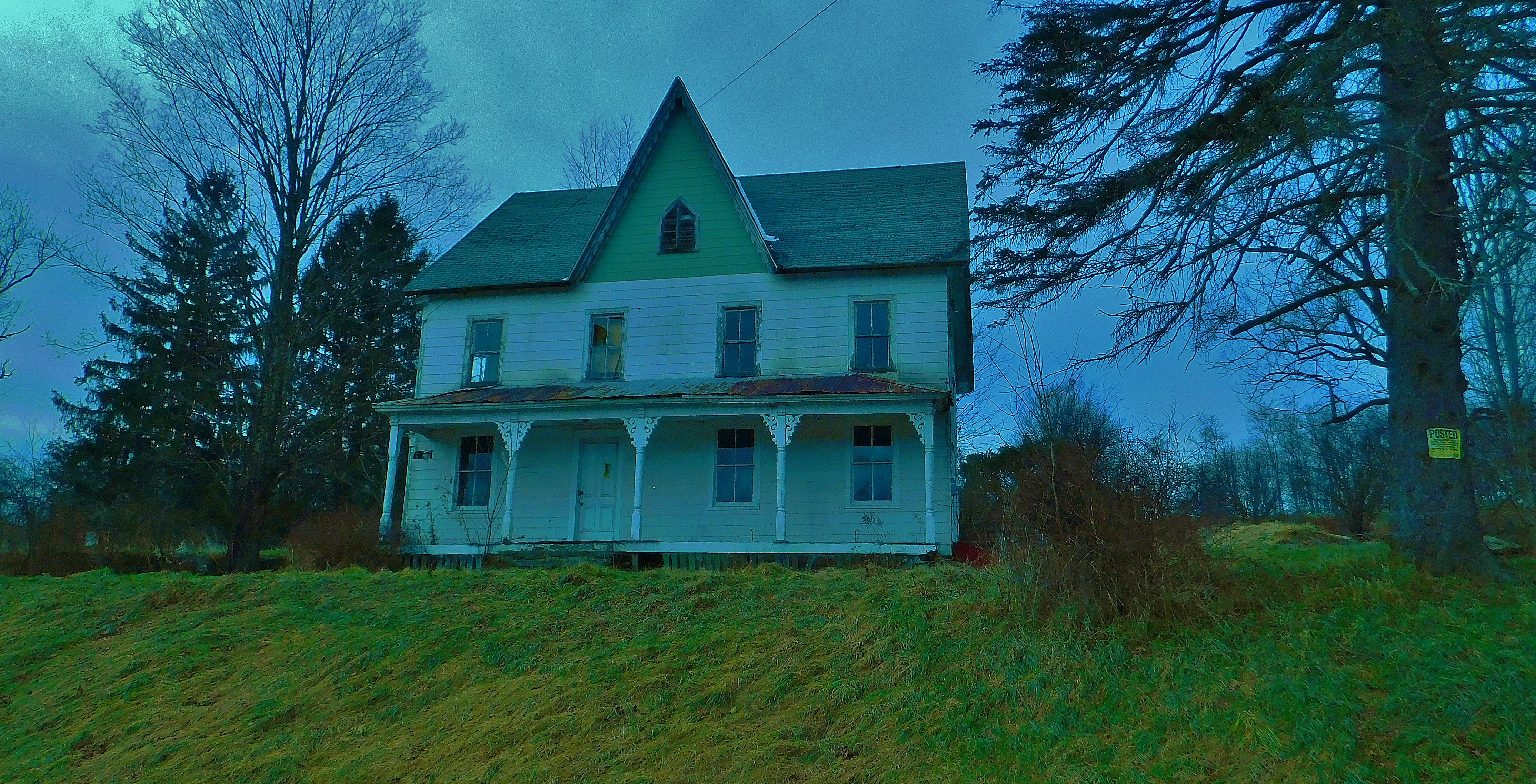
Milanville, Cochecton, Callicoon. I just can’t wait to get back and google the names of these towns, the history, the industry the future?? We pass along the way many structures some inhabited, many vacant, what happened?
Above Callicoon, we pass the town of Hankins, then Long Eddy( and I wonder is there a Short Eddy?) No time to stop and explore these places, but perhaps another day, another blog or should it be called a “trog”> travel blog.
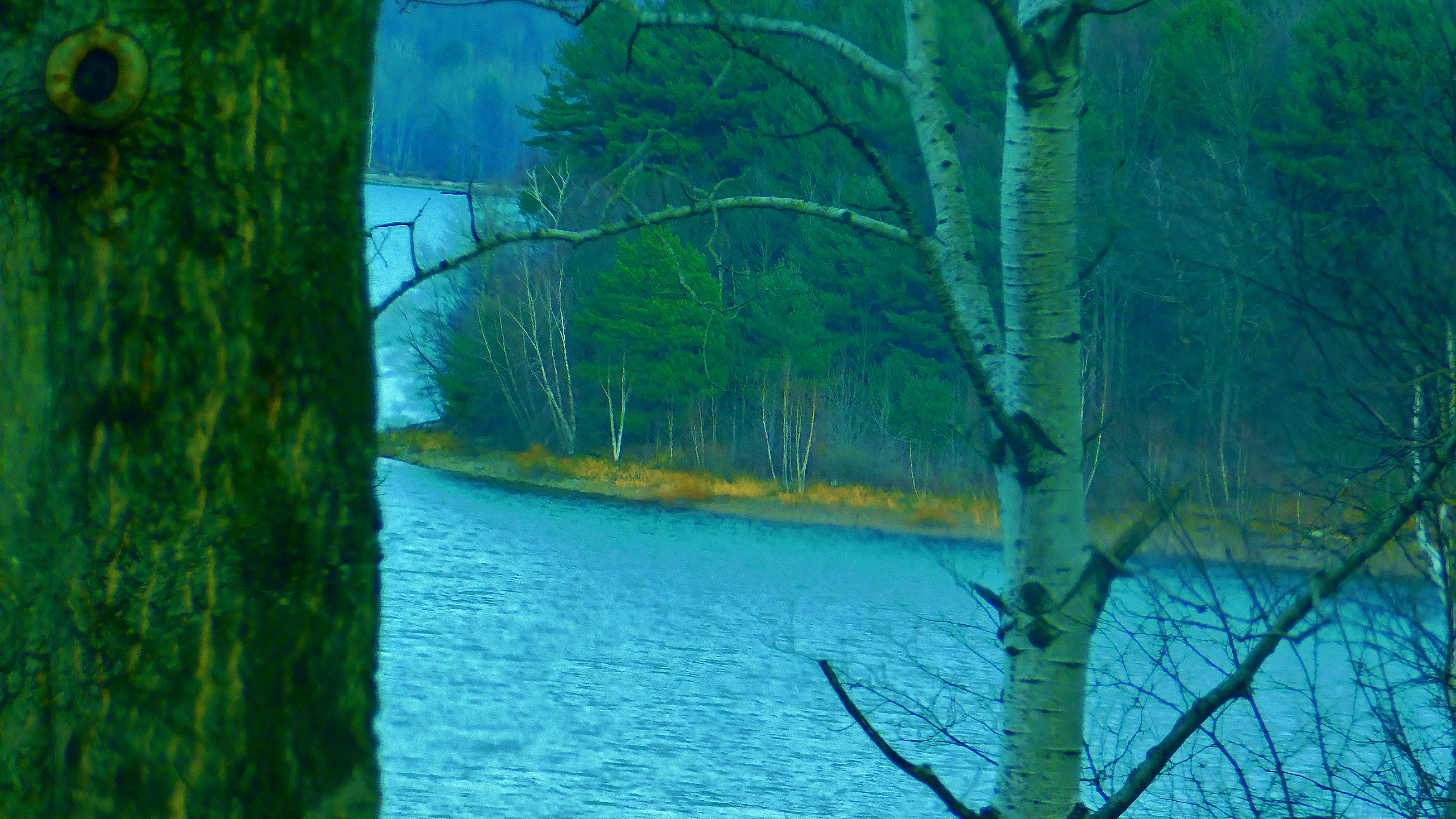
Riding into Hancock across the bridge, we turn left then right where we make for Sands Creek Road, rt 67, which of course follows Sands creek up to it’s source in Russell Lake. Route 67 then continues northward between 2 hillsides up a climbing valley towards the Big Lake, the Reservoir.
Hancock, N,Y.Sands Creek Road
I feel a sense of impatience as I glance over at Patty and I reassure her that we are close, even though I wasn’t sure, ha ha. We breach the hill and travel down into view of Cannonsburg! Wow! A lake surrounded by mountains and hillsides dotted with majestic fir trees of old.
We pull into the first roadside pull-off. The car door opens, Samuel, our West Highland Terrier springs forth and gallops towards the first elevation of anything in order to lift his leg and relieve himself. Now he is so busy sniffing this new environment. Sniffs the gravel, the dirt, the grass, the twigs, every tree… Camera swung over my shoulder wanting so much to capture these amazing views, I tie him up and venture towards the shore.
White Willow trees and stark wineberry vines lead the way down a very steep and sudden desent, of which I choose to stay above and let the telephoto lens tell the story.
Pictures taken, dog and I head back to the car. Patty opens up our picnic lunch and we munch on down. Discussion ranges from just how beautiful this is to this location would be a perfect spot to write about in a murder mystery or scary story. We take in the view, eat our lunch and proceed again northward on route 10.
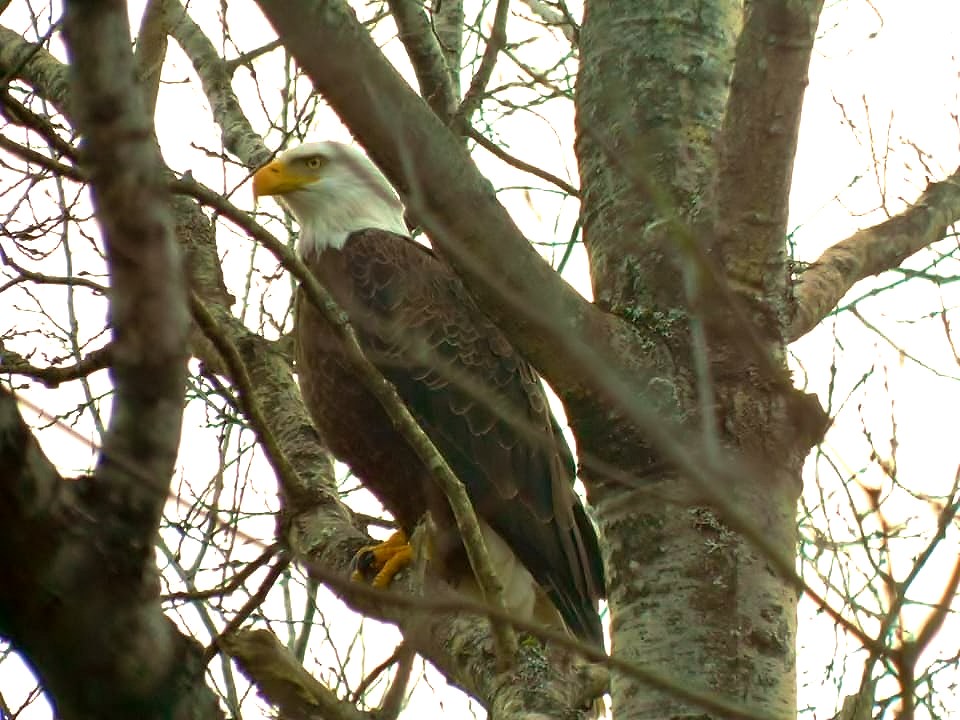
and then, along a straighter part of the road, as we were just talking about how void the area seemed of any wildlife, EPIC! Bald Eagle flies right above the car, Holy Sh_t! Camera in hand, clicking away, all the while trying to navigate the excitement while traveling at 55 mph. Patty says, turn around, I follow the road down a few to a straightaway and make the uturn and head back as we approach the eagle flies from it’s perch to the other side of the road, another ubie, then back again to the lake side, hopefully this will be the last uturn. We pull up with hazard lights on at about 15 mph, all the time I am hoping an 18 wheeler doesn’t come along and flatten us. There he is! So majestic, so beautiful. Epic! Patty takes control of the camera and clicks away.
Sure, the Bald Eagle has bounced back from almost extinction. Sightings of them are made almost daily now, even in the suburbs and cities. Yet Epic is the sighting made of this great bird in nature, in the wilderness, at Cannonsburg Reservoir.
Roadways for some reason fascinate me. I am not a fan of GPS, but can ponder over an atlas or map all day long. That being said, historically it is reported that some of our early roadways originated from the migration trails of buffalo, caribou and other herding mammals. Native Americans then used these routes to travel here and there. Traders, wagons and stagecoaches followed. These paths were widened, paved and sometimes rerouted to become our modern roadways and railways of today.
In the early days, these paths and or trails were well known, passed down from generation to generation, such as the quicker, traffic light free backroads were passed down from my father to me when learning the art of driving as a teenager. The people who traveled to here and there knew all the stops, where to hunt, gather,camp, drink, get gas, get rid of gas etc…
Taverns and towns sprung up along these roads to be followed by homes and schools. So not only did animals and people follow these roads but also development. The roads became faster, what took the Native American a whole day to get to their destination, is now accomplished in just 10 minutes on the expressway.(not rush hour though).
Native peoples shared stories of perhaps the great big bad wolf they encountered along the way, pioneers in turn spoke of muddy, rutty roads around the campfire, today we Facebook about our anger over driving and texting or “Why can’t people slow down in a school zone?” Imagine an Indian scout texting as he ran through the woods. Bam! didn’t see that tree coming…..
So where is this post going? No where really, it’s just rambling down the road, trippin along.
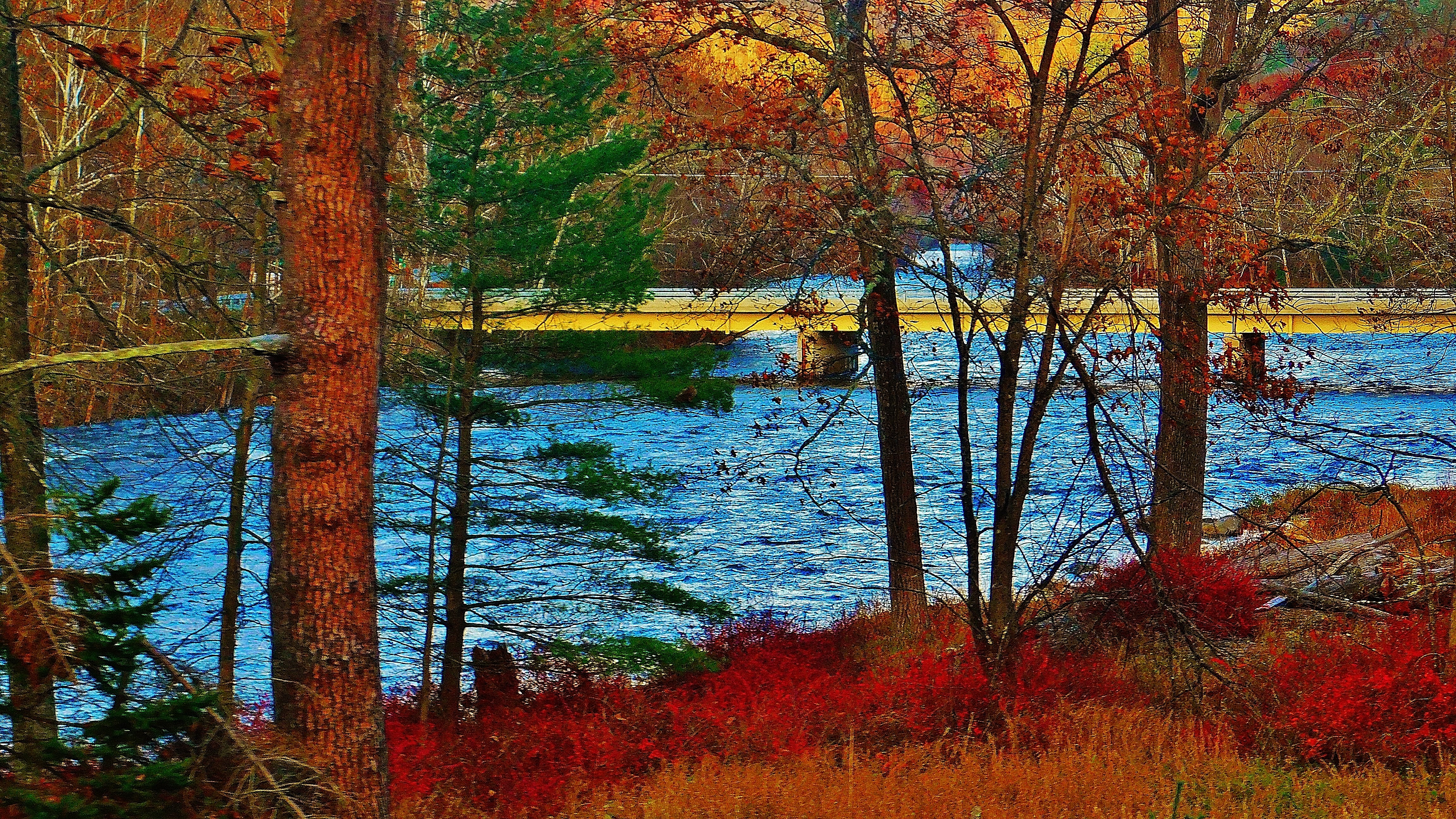
An iconic photo of train tracks leading into the woods. A late autumn train ticket for a train ride along the Lackawaxen River from Hawley to Lackawaxen, Pa and back. Choo Choo
Rain swollen Lackawaxen River rolls past bridge that leads to Zane Grey Museum
Sure the railroad cars are of olden days and for the railroading enthusiast the railroad cars and decor suggest the early history of travel back in the day, But for me, this trip afforded me a way to view the surrounding country side. Choo Choo.
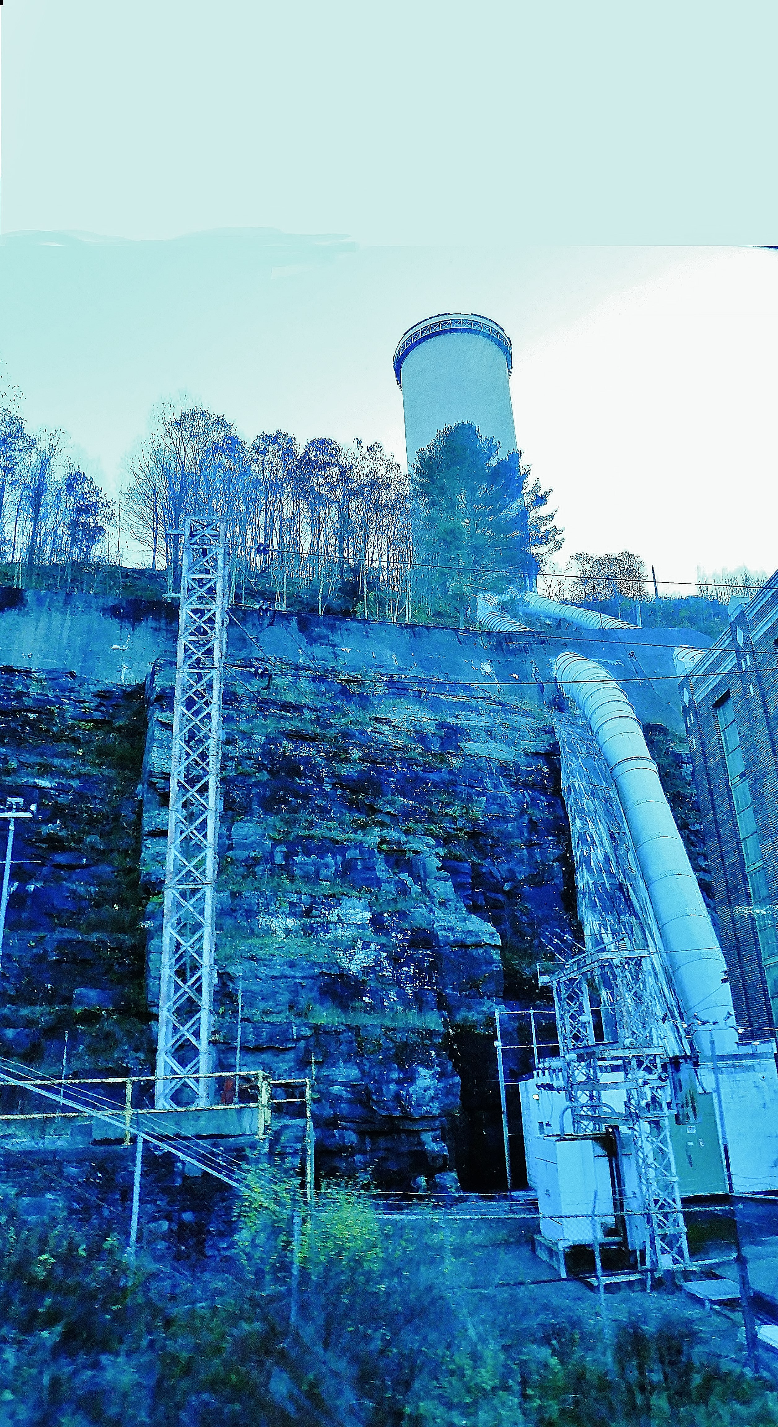
A power plant creates an electrical current from the current of water.
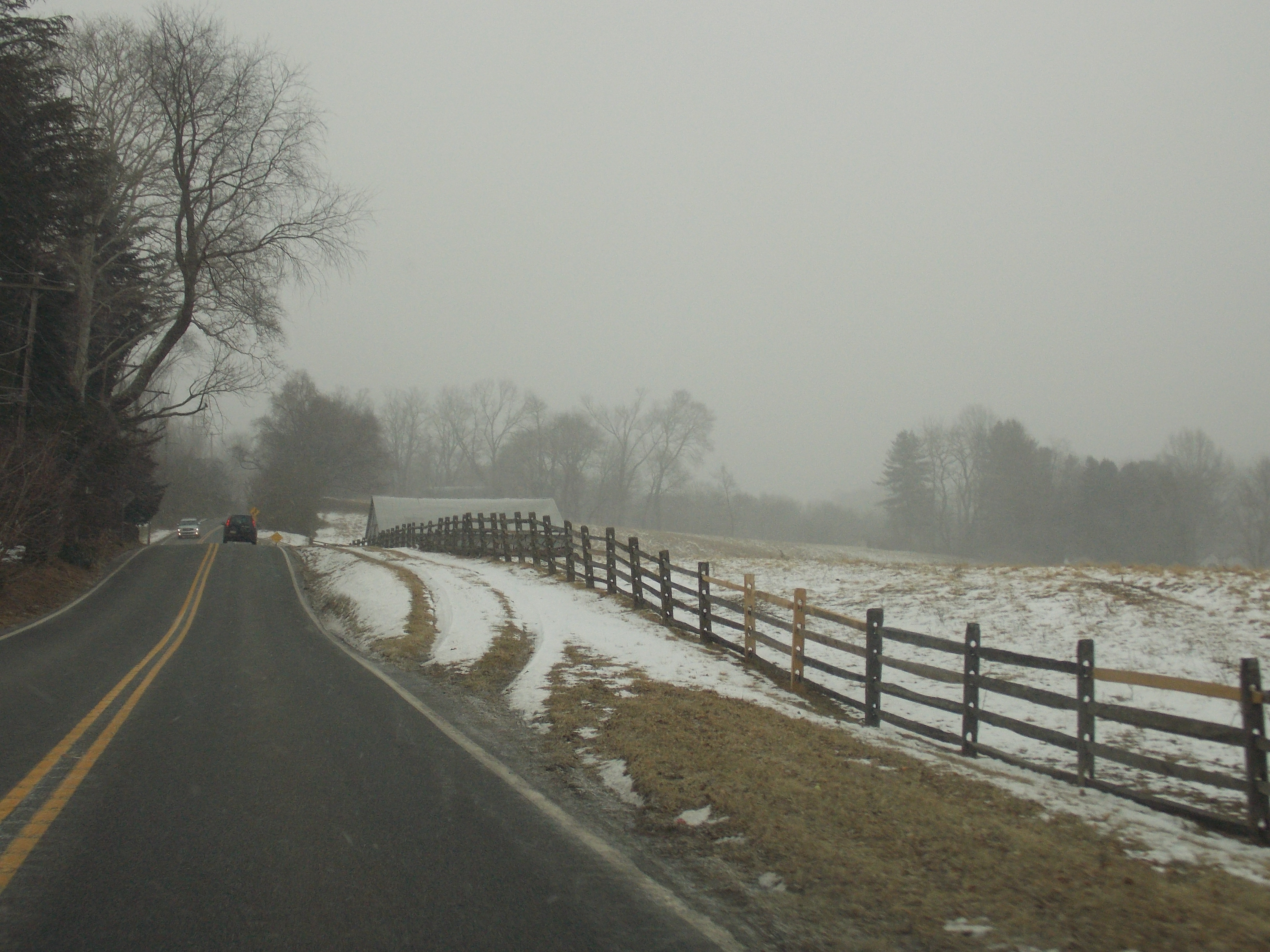
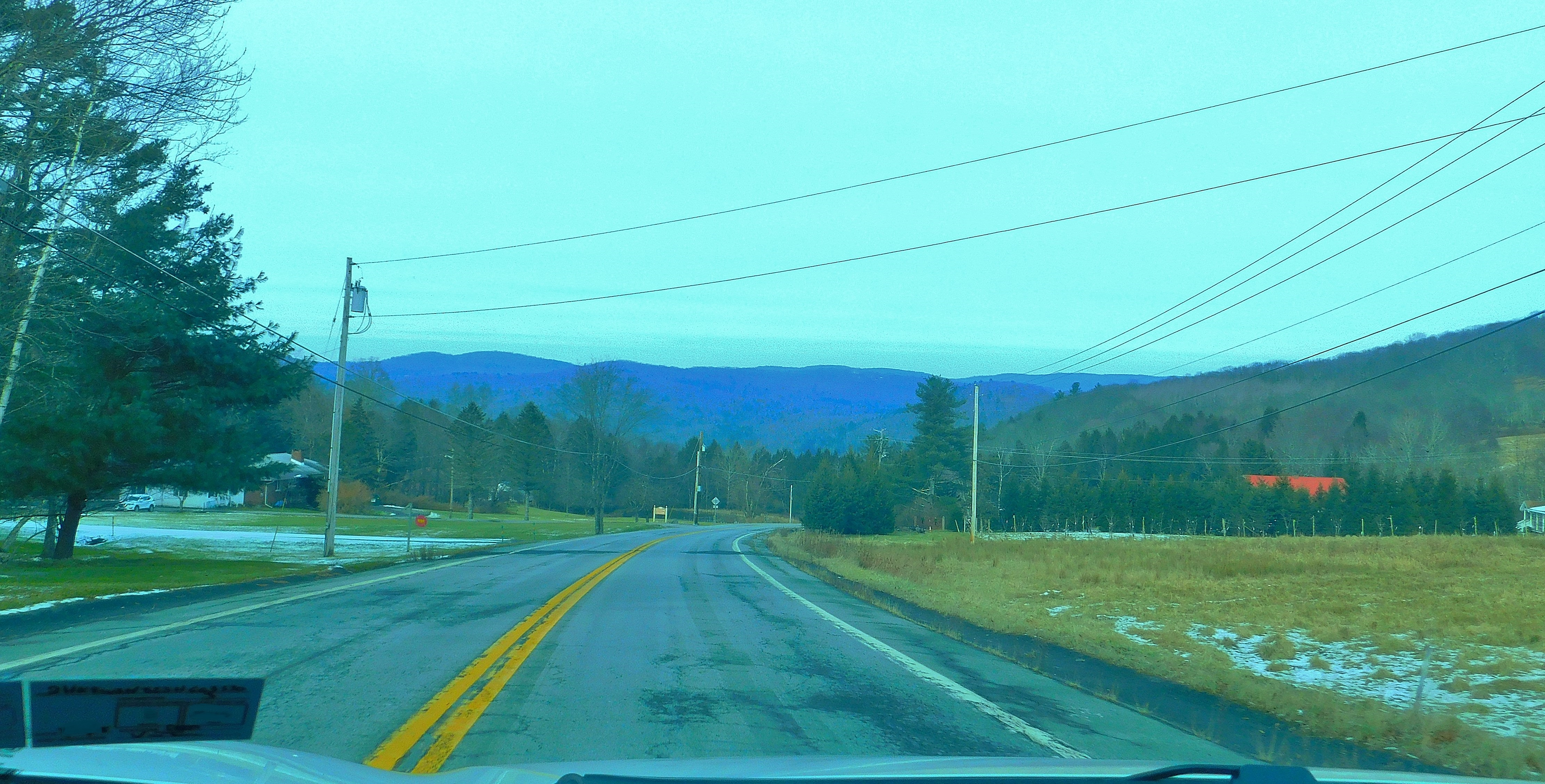
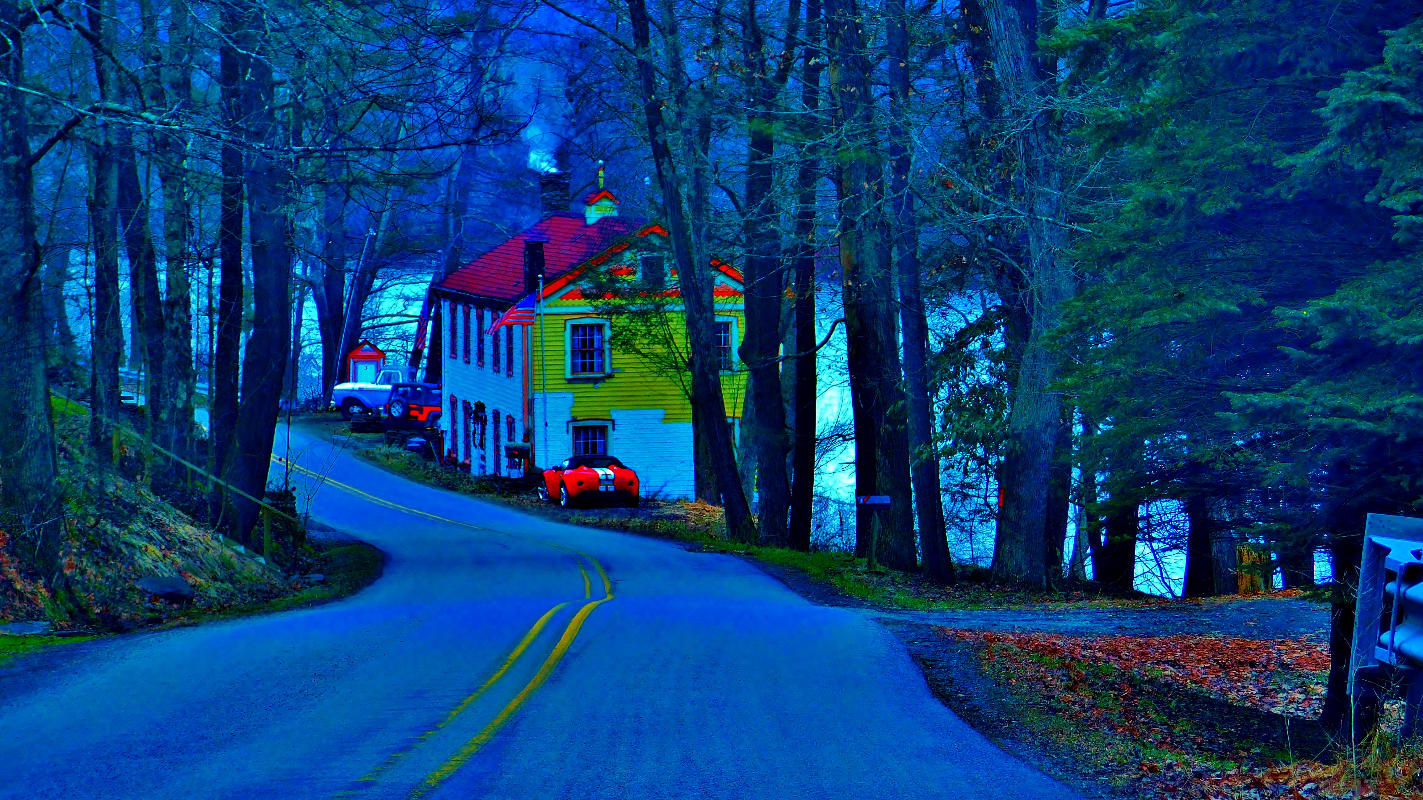
Roadtrippin is impulsive and of course when the notion hits you a right hand turn is so much easier to execute. You never know where that right hand turn takes you. Our roadtrippin adventures are done the old fashioned way, no gps, no atlas, just take a guess and drive. Sometimes there are visible hints as to where you are headed. Road signs that say “Dead End” or as the sun goes down you know where “West” is. One of the most important signs to look out for is your gas tank gauge, it should read full as you begin your trip and hopefully still have some gas before your trip ends, otherwise you will be footin it. The other day, Patty and I decided to hang a right turn on a back road just off route 6 near Honesdale. Brook road parallels Holbert creek (not brook) to where it becomes Torrey Road where the road opens up out of the forest to rolling farmland with views of distant mountains, many of them.
and of course that beckons our adventuring blood to reach out and touch them. That roadtrippin is for another day though.
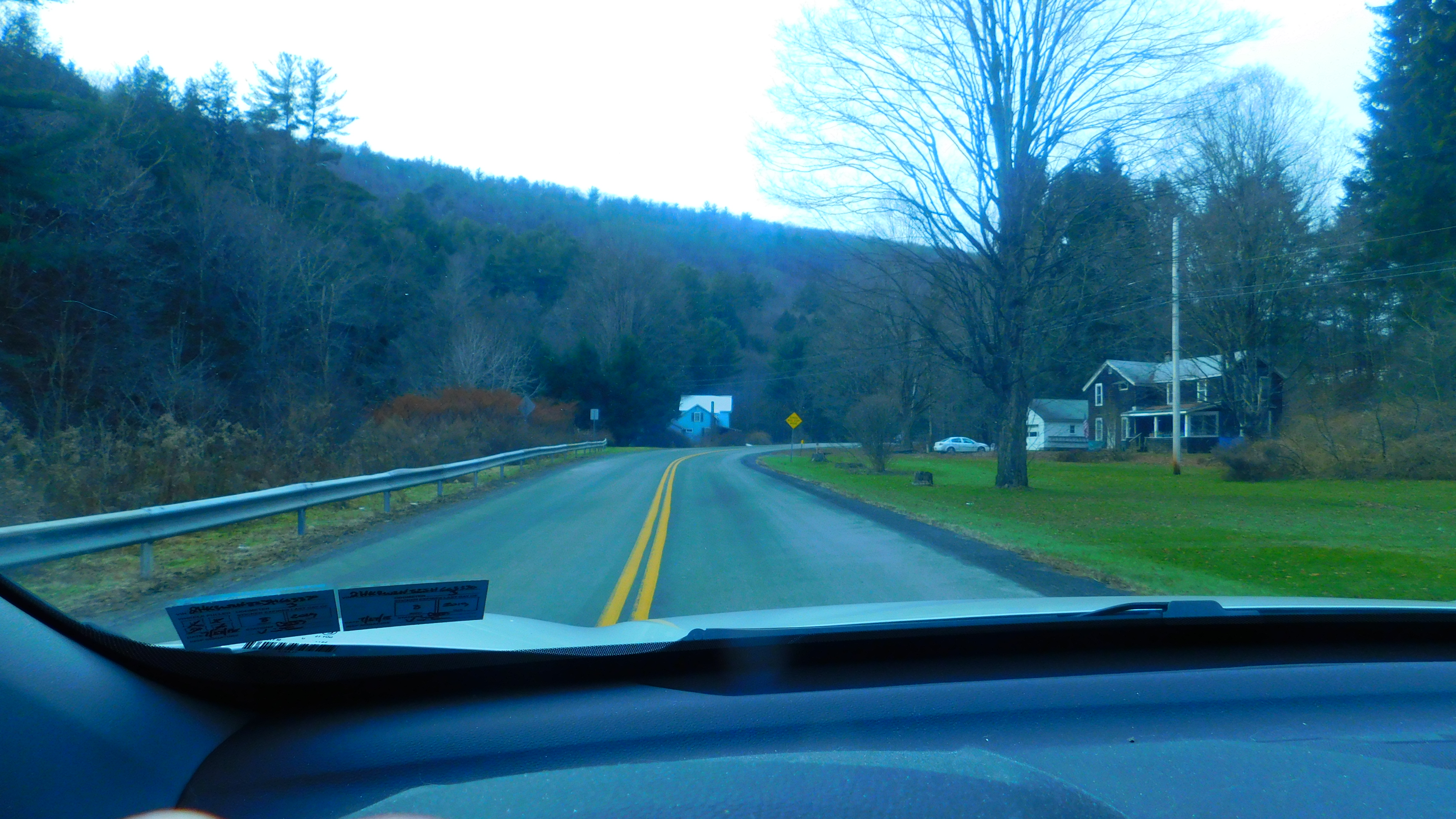
Olden homesteads and farms with olden stories dot the landscape along the way, some are abandoned or at least look that way.
Quiet memorials of country time past.
Another impulsive right hand turn and road names forgotten, we end up down on River Road headed towards Milanville. Again a meandering of travel with meaning placed on the sites along the way.